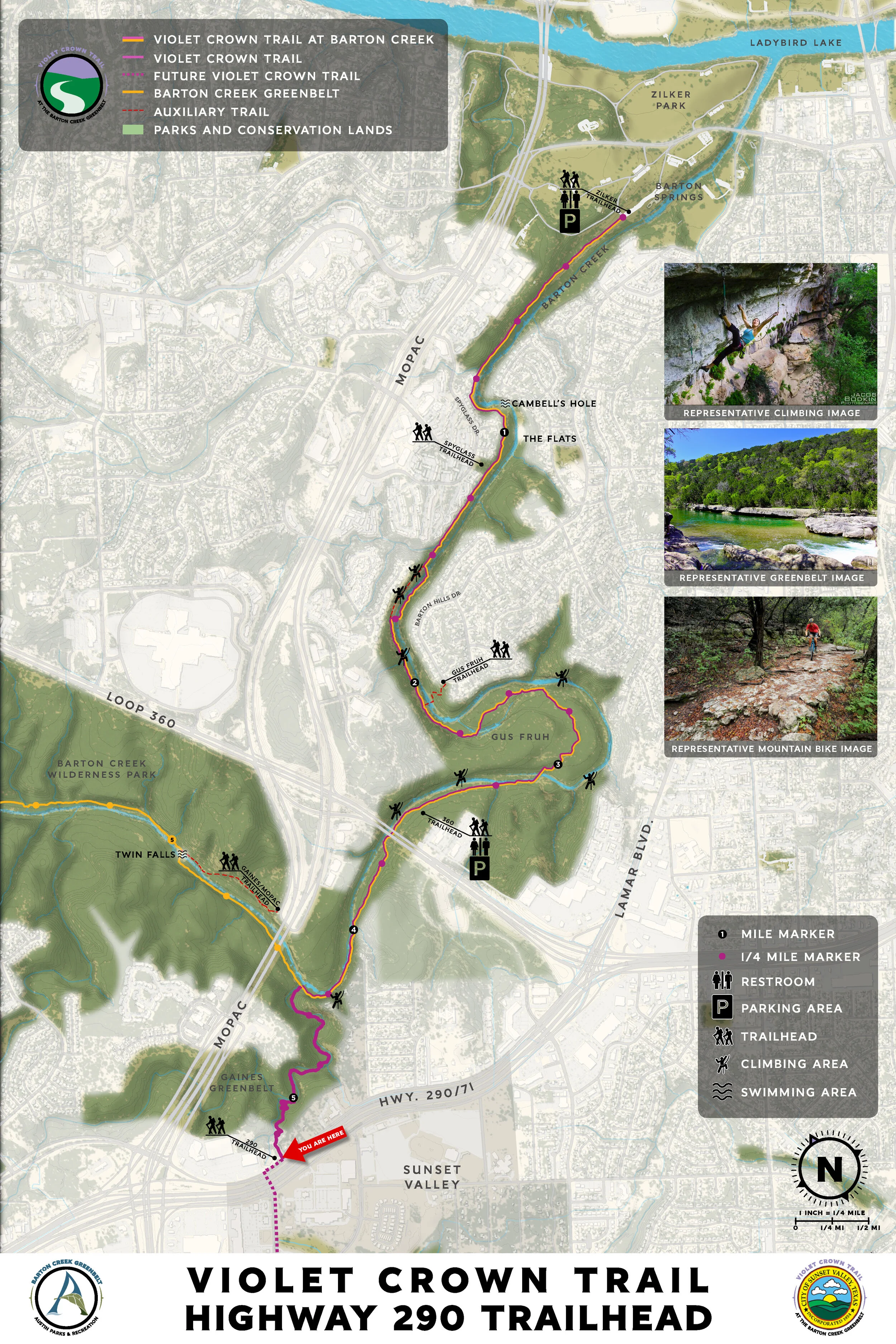
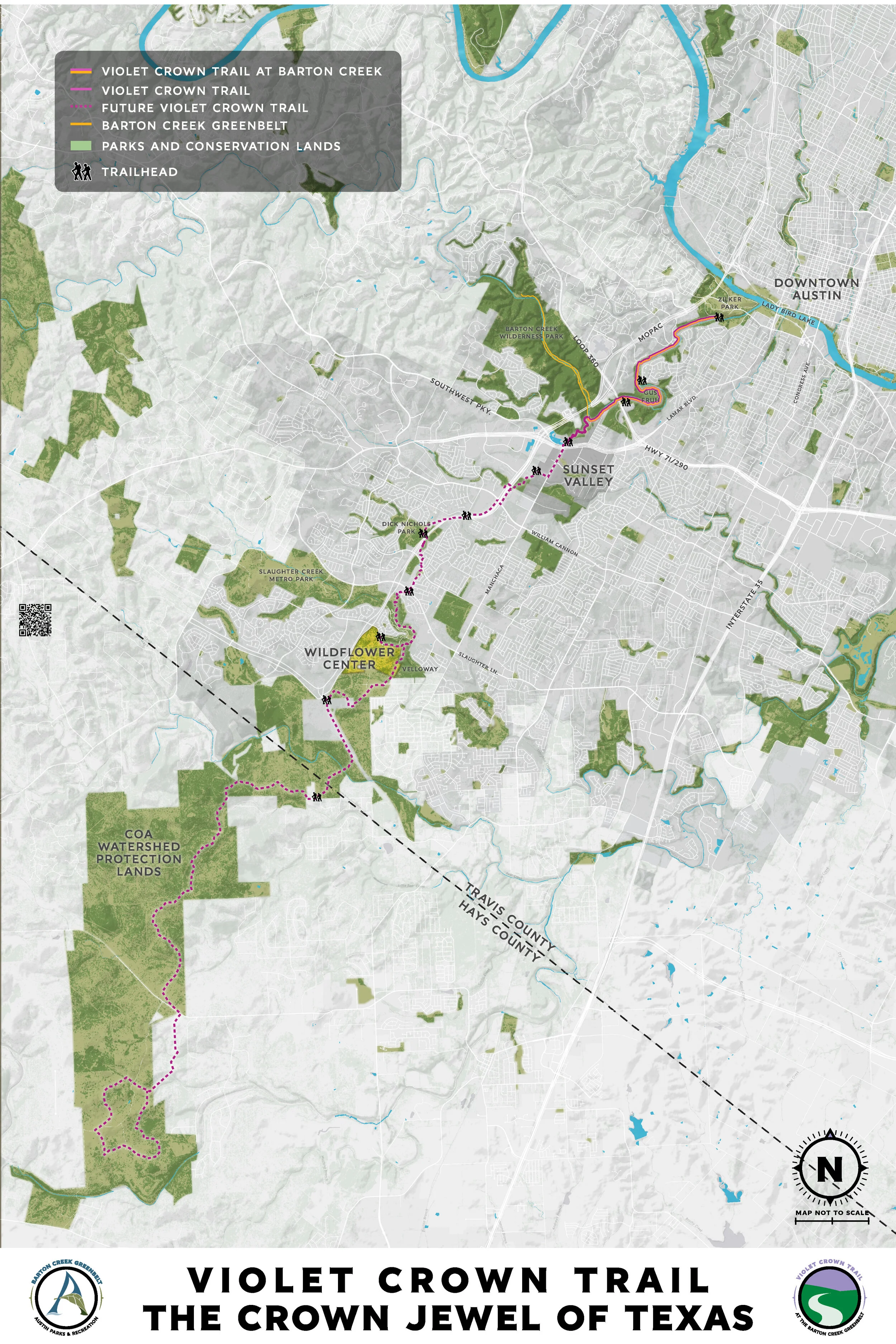
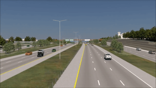
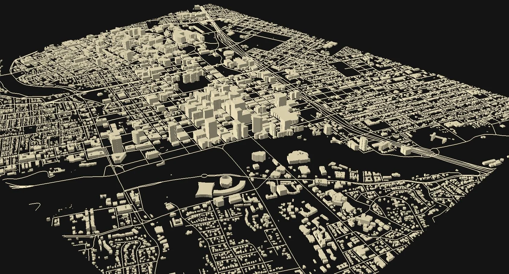
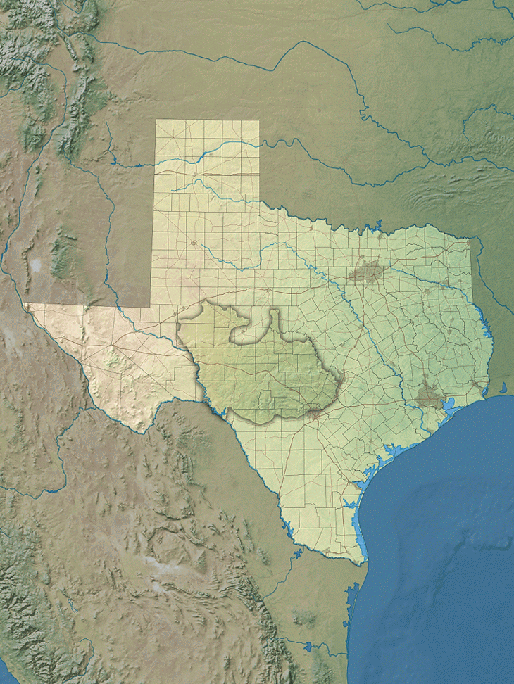
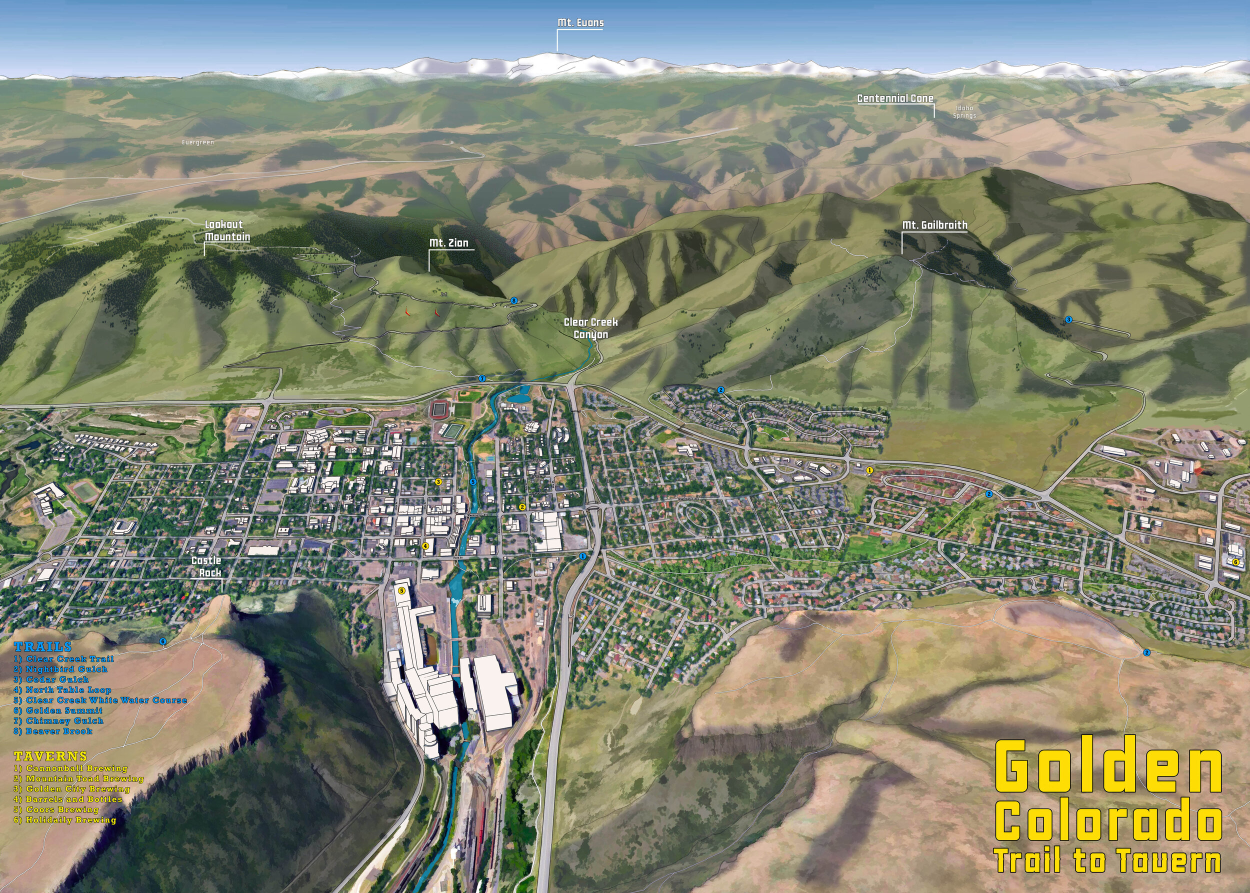
View fullsize View fullsize View fullsize View fullsize View fullsize View fullsize View fullsize View fullsize View fullsize View fullsize View fullsize View fullsize View fullsize View fullsize View fullsize View fullsize View fullsize View fullsize View fullsize View fullsize View fullsize View fullsize View fullsize View fullsize View fullsize View fullsize View fullsize View fullsize View fullsize View fullsize View fullsize View fullsize View fullsize View fullsize View fullsize View fullsize View fullsize View fullsize View fullsize View fullsize View fullsize View fullsize View fullsize View fullsize View fullsize View fullsize View fullsize View fullsize View fullsize View fullsize View fullsize View fullsize View fullsize View fullsize View fullsize View fullsize View fullsize View fullsize View fullsize View fullsize View fullsize View fullsize View fullsize View fullsize View fullsize View fullsize View fullsize View fullsize View fullsize View fullsize View fullsize View fullsize View fullsize View fullsize View fullsize View fullsize View fullsize View fullsize View fullsize View fullsize View fullsize View fullsize View fullsize View fullsize View fullsize View fullsize View fullsize View fullsize View fullsize View fullsize View fullsize View fullsize View fullsize View fullsize View fullsize View fullsize View fullsize View fullsize View fullsize View fullsize View fullsize View fullsize View fullsize View fullsize View fullsize View fullsize View fullsize View fullsize View fullsize View fullsize View fullsize View fullsize View fullsize View fullsize View fullsize View fullsize View fullsize View fullsize View fullsize View fullsize View fullsize View fullsize View fullsize View fullsize View fullsize View fullsize View fullsize View fullsize View fullsize View fullsize View fullsize View fullsize View fullsize View fullsize View fullsize View fullsize View fullsize View fullsize View fullsize View fullsize


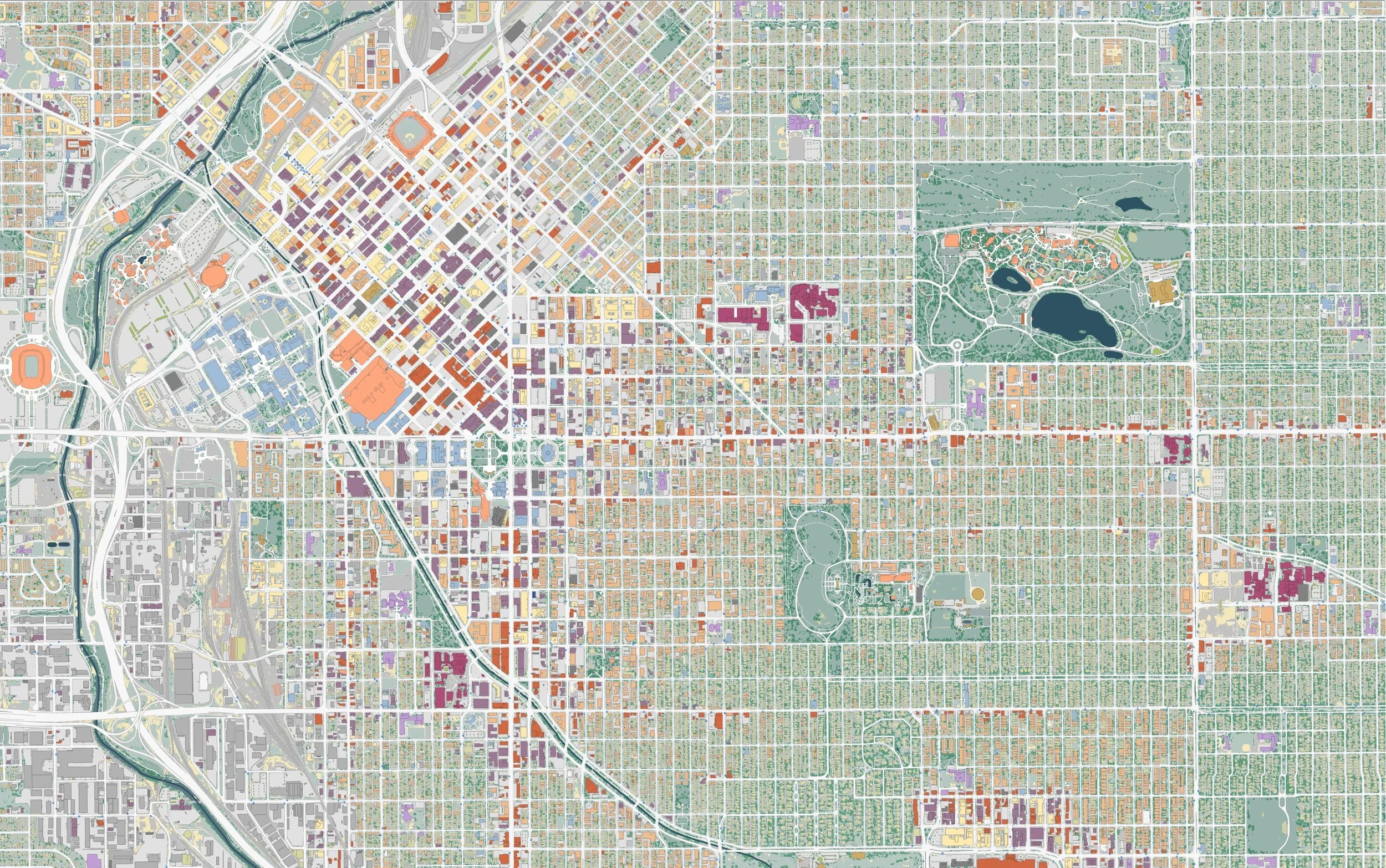


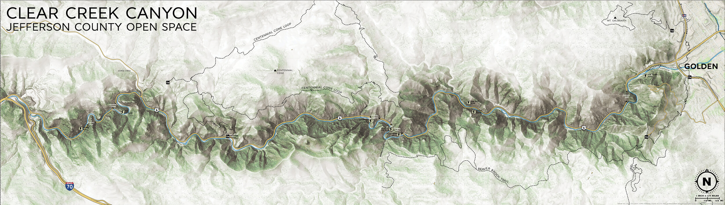
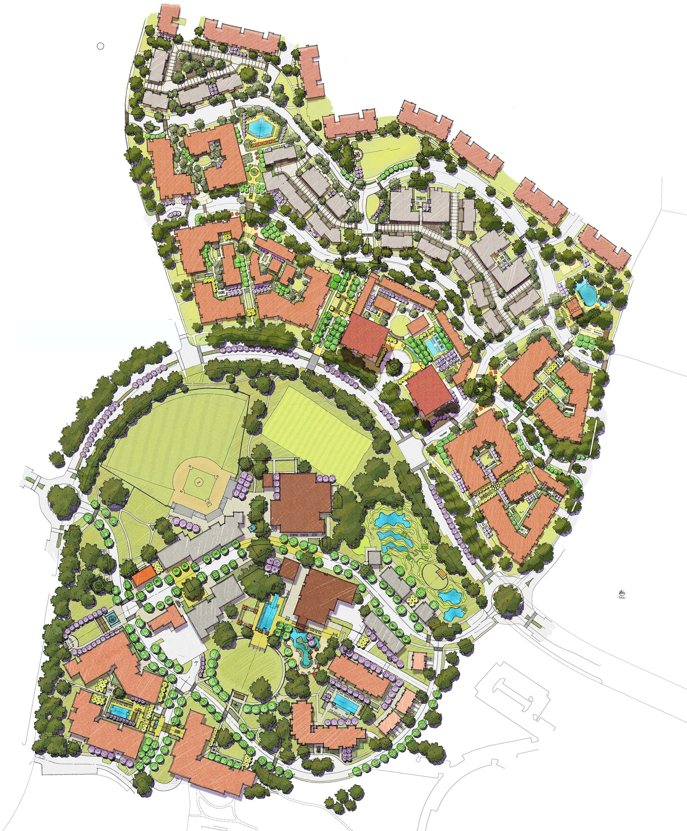
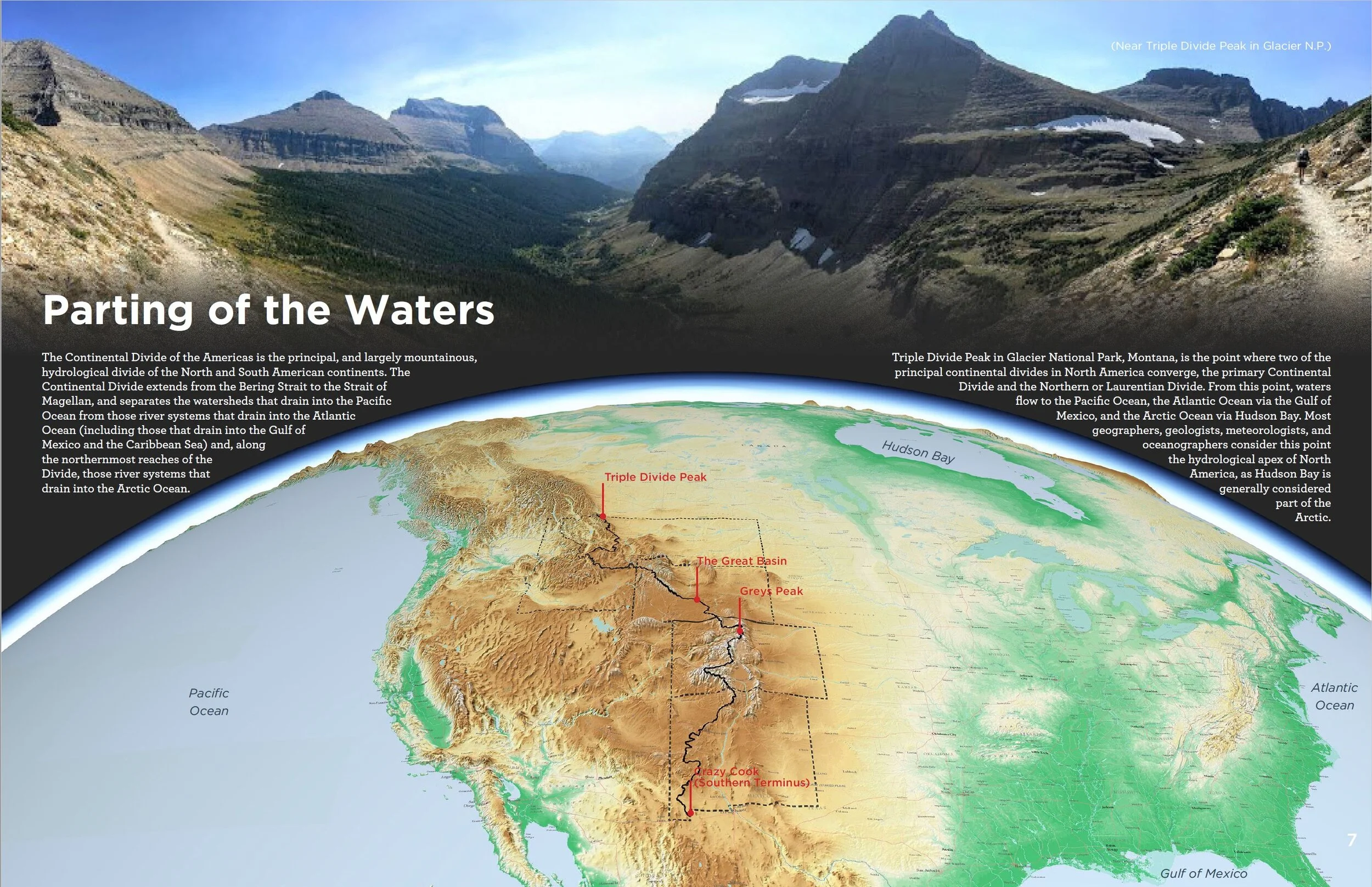
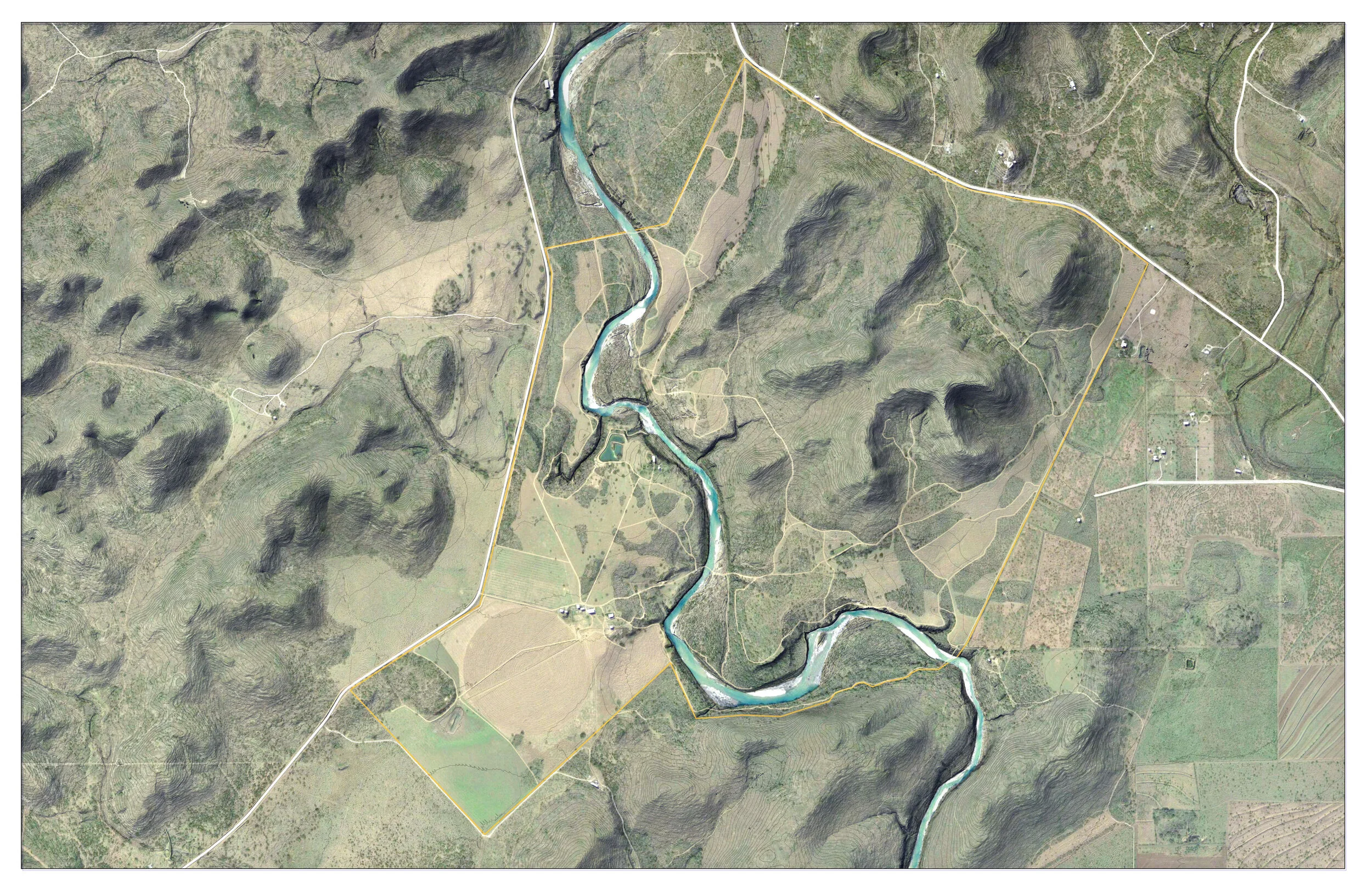
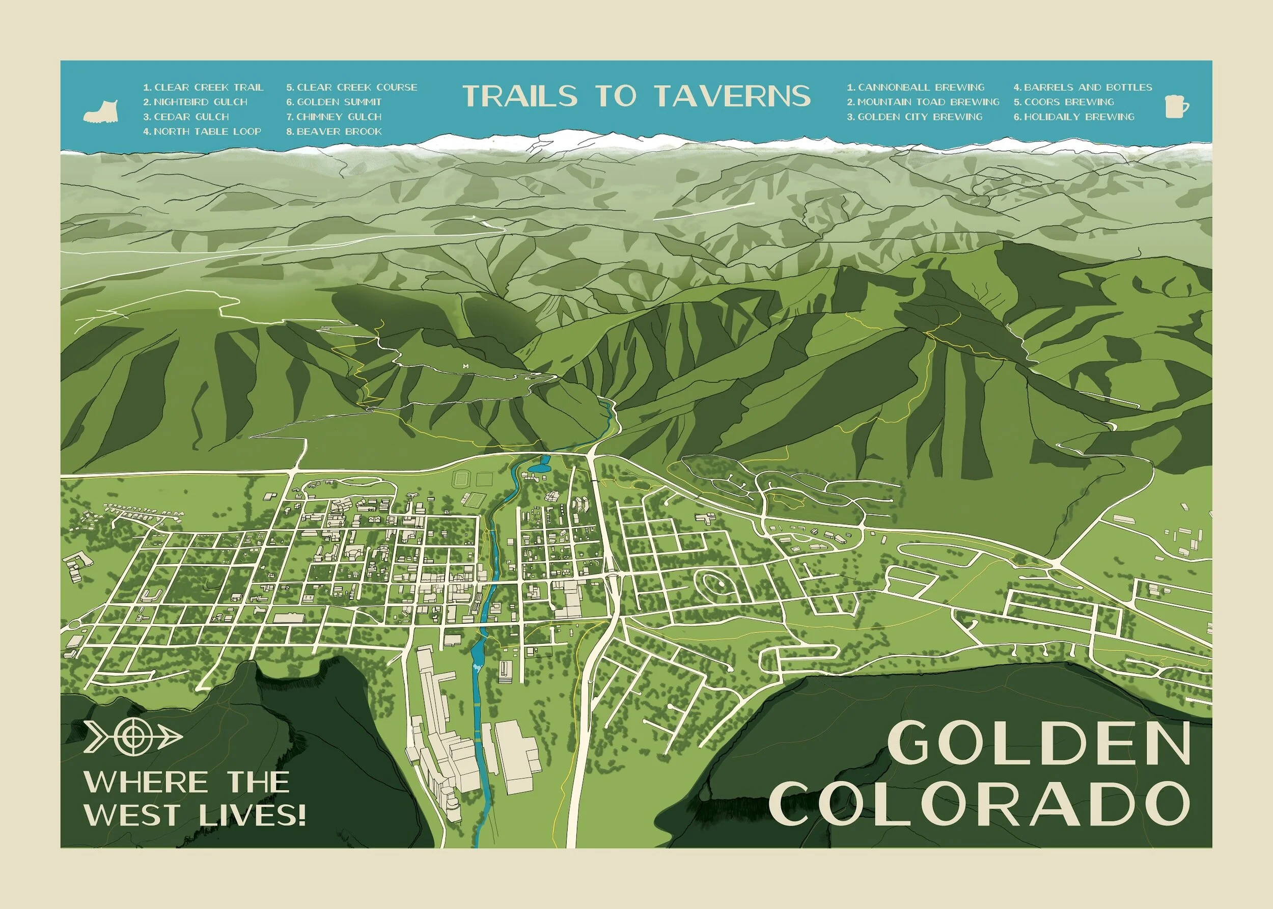
![vector data [Converted]-01.jpg](https://images.squarespace-cdn.com/content/v1/5f007a3c3022ac6fe028e5c9/1593871213415-HSE41DG0QYQ2WUWDIK4T/vector+data+%5BConverted%5D-01.jpg)